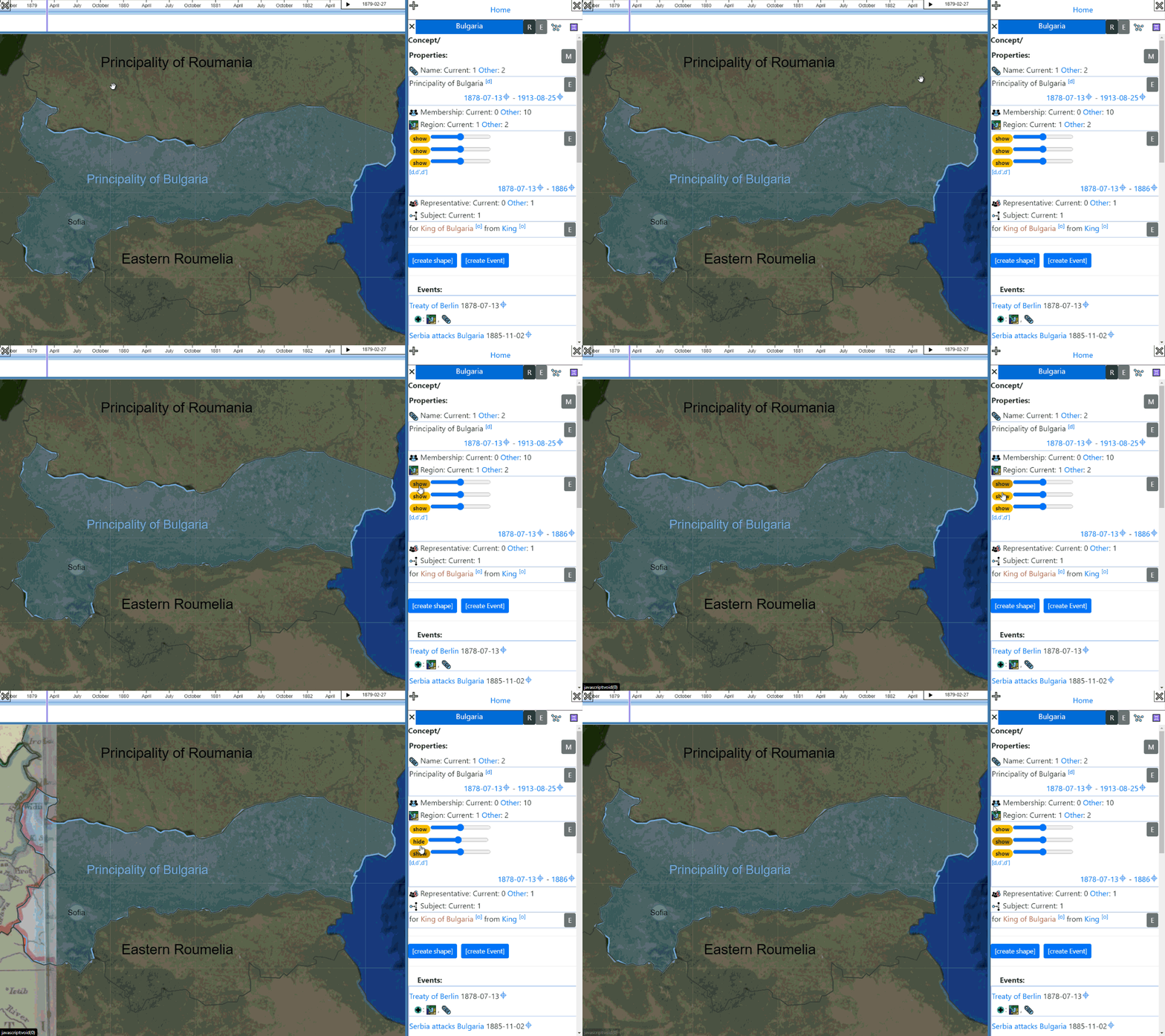
Historical maps are both a source for places and borders and more, as well as a visualization aid for when that information is used. They lend immediate visual credibility to location based information. They are just neat to look at! For them to be useful, though, they need to be adjusted to a common map projection. Georeferencing is a tool for that purpose. This process can be fairly straightforward for recent maps that are based on a well known projection. For older maps, predating accurate metrology, this process is necessarily error-prone with large uncertainties. xplris has a build-in georeferencing mechanism that allows anyone to add any map to the platform for use as a source and for visualization.